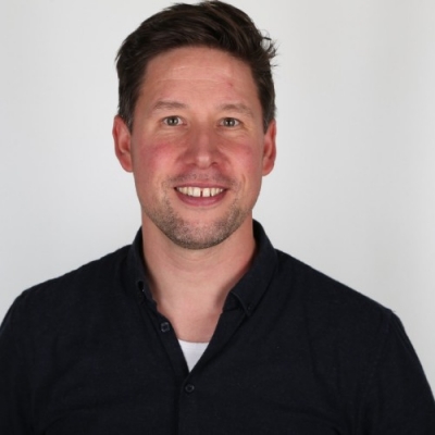
Mikkel Høegh Bojesen
:
Jun 20, 2022
Looking for Partnership
About Me
As business development manager with DHI - the experts in water environments, the leading remote sensing company in Denmark, I'm very much interested in how especially satellite imagery and knowledge based solutions can and support solving your biggest challenges. It being concerning maritime situational awareness, sustainable agriculture or habitat mapping and monitoring.
Keywords and matching areas:
Get Access to the 1st Network for European Cooperation
Log In
or
Create an account
to see this content
Ideas in Progress
Fisheries and Food
Biodiversity
Marine and Coast
Innovation
Low-Carbon Economy
Sustainable Development
Developing life in the coastal zone, being antropocentric or ecocentric, very much depends on knowledge about this region. Yet, in larger parts of the world the coastal zone is largely unmapped. Satellite imagery holds great potentials in providing insights into these vast areas, this being in terms om mapping submerged aquatic vegetation og mapping submerged navigational hazards, tidal zones a...
Hørsholm, Denmark
3 years ago
3 years ago
Favourite Calls
No Favourite calls!


















Please Log In to See This Section